See Who’s on Your Land
Know where visitors are and what they’re doing so your team can respond quickly. Immediate visibility helps prevent issues and ensures staff are deployed effectively.
Transform visitor Interactions into valuable insights.

Outway provides land managers with clear insight into visitor activity, enabling teams to respond quickly, maintain safe spaces, and create a welcoming experience across all sites.
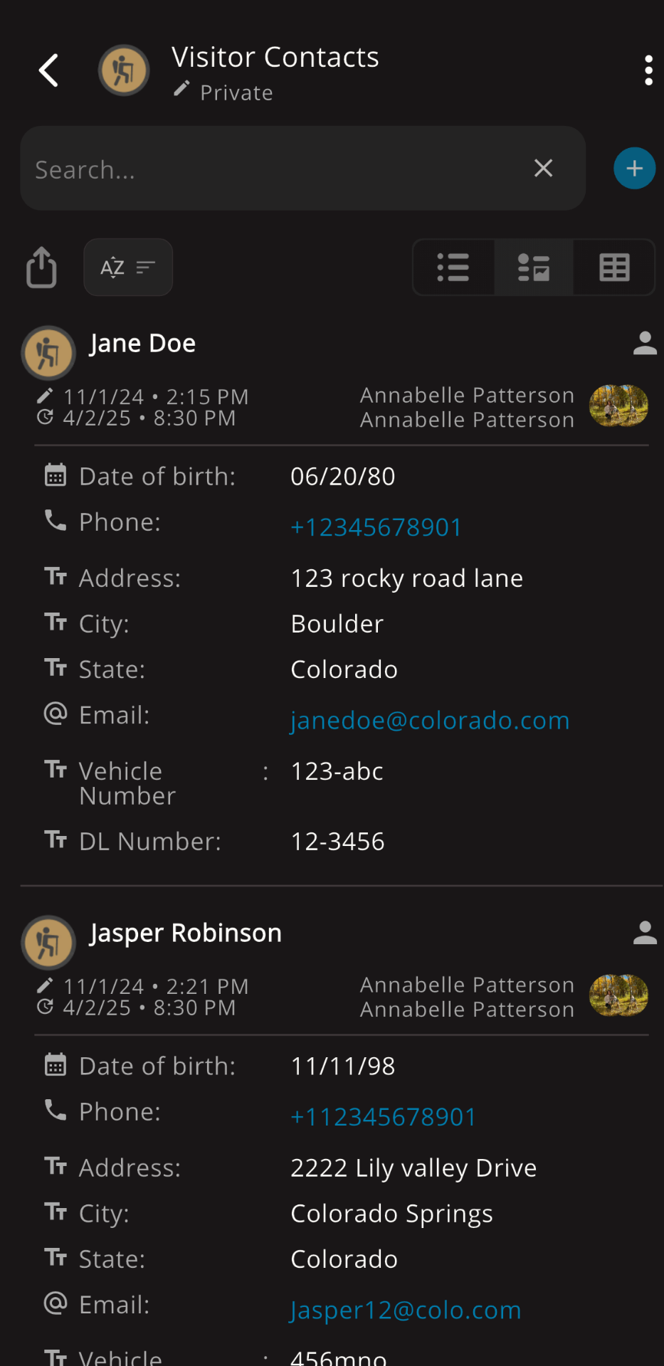
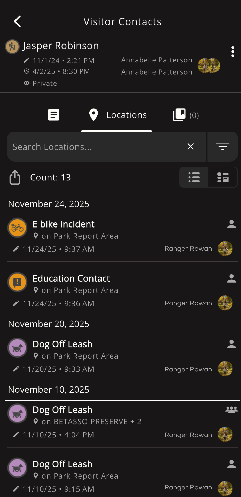
In Pitkin County, rangers rely on Outway to log education and enforcement contacts, enabling them to address various issues efficiently. When interacting with over 100 organizations in a year, staying consistent and organized is crucial. Their patrols cover urban and natural areas, where they enforce trail-use violations, such as off-leash dogs, e-bikes, and littering, as well as parking violations that require tracking and resolution.
By leveraging shared contact libraries and real-time updates, the team ensures consistent record-keeping and communication, enabling proactive responses and maintaining safe, accessible outdoor spaces for the community.
A: Outway streamlines communication across teams to ensure everyone has the same understanding of visitor trends and can make timely adjustments to operations as needed.
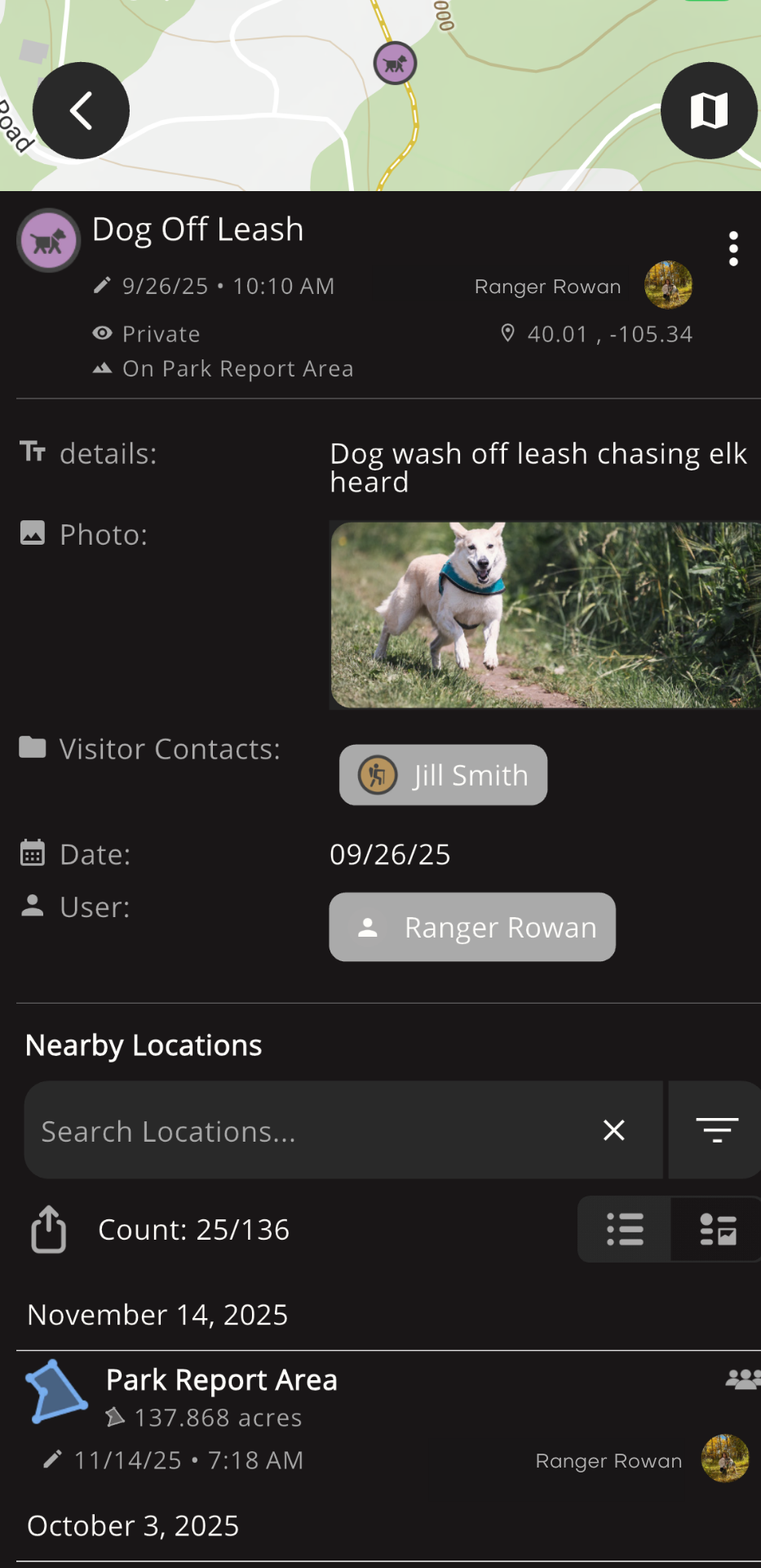
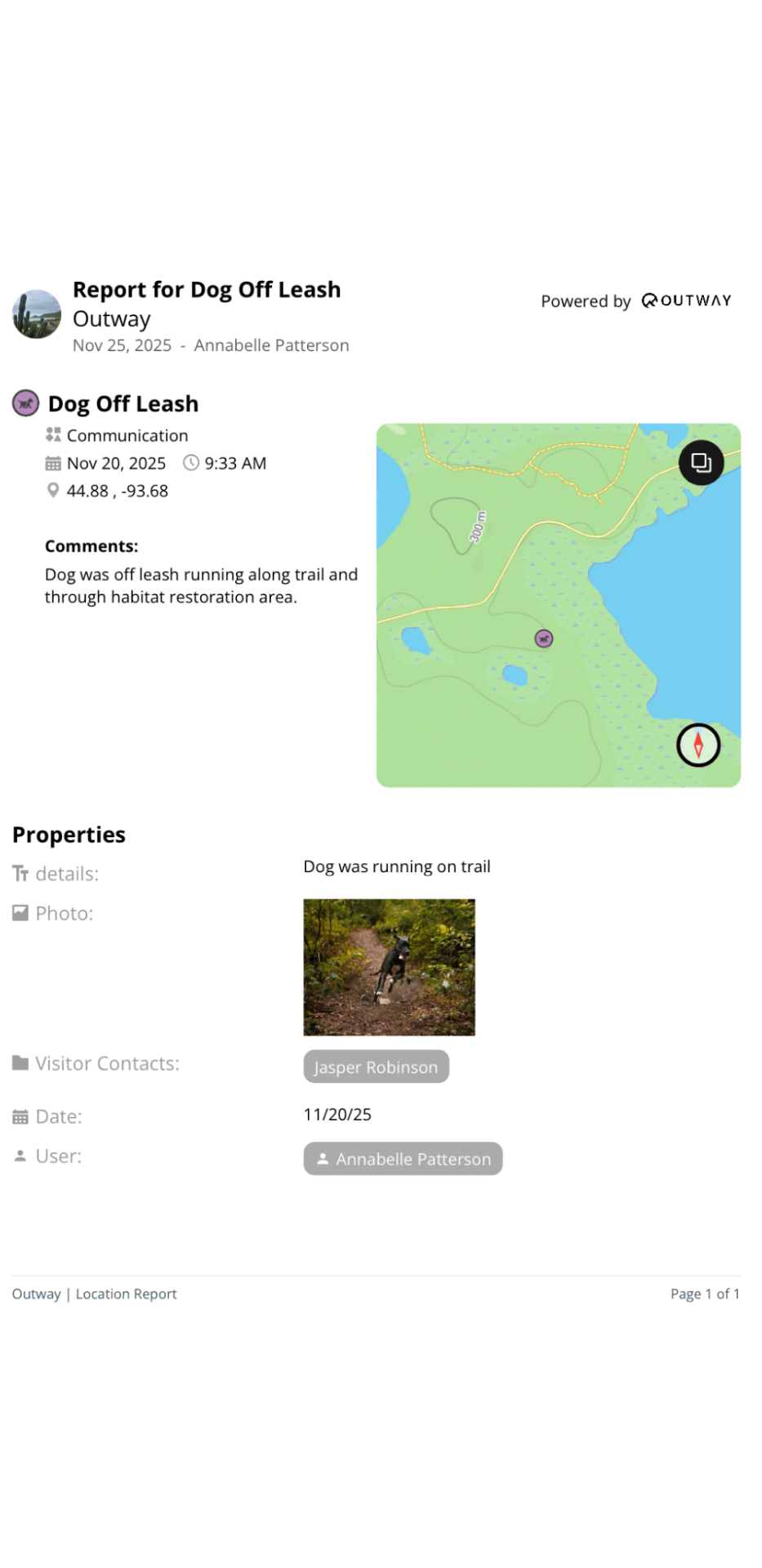
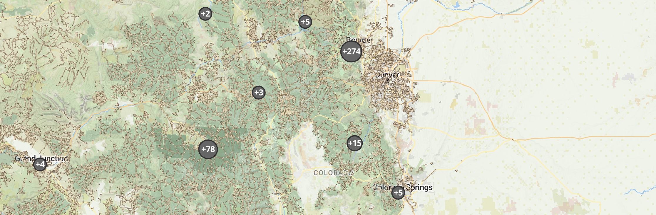
A: Yes. Outway’s mapping system identifies trends such as clusters of reported behaviors. This makes it easier to determine areas where additional signage, ranger presence, or outreach programs could help.
A: By analyzing visitor behavior and resource use through data, teams can make strategic shifts. For instance, staff can be reassigned to areas where visitor concerns or behaviors are more frequent.
A: Our detailed map includes labeled property lines and well as an option to make additional areas to make sure you know where a visitor is and whose property they are on. Teams with overlapping zones like the city of Aspen and Pitkin county use this feature to ensure seamless communication and visitor management.